November 7th
Itinerary: Samnaun village – Zeblasjoch (2539 m) – Fuorcla Val Grondo (2752 m) – Fimberpass (Cuolmen d’Fenga, 2608 m) – Val Sinestra – pt 1507 on road to Hotel Sinestra above Sent.
Distance: 27,9 km
Time: 7 hours 40 minutes (plus 55 minutes for the stops)
Vertical distance: 1310 m uphill; 1680 m downhill.
Another beautiful sunny day. This day was planned as a tour de force to leave the Samnaun duty-free zone. The obvious destination would have been the Heidelberger Hut, already closed late September, which is more readily accessible from Ischgl in Austria. To get back into the Lower Engadine involved crossing the Fimber Pass, with a long walk down the Sinestra valley to Vnà or Sent. All went well, except that the stretch from the Zeblas Col to beyond the Fimber Pass required snowshoes and was laborious in the soft snow and absence of clear paths. Also, bands of grass and stones meant I had to take the snowshoes off (and put them on again) some eight or nine times in all.
Night: Garni Pensiun Plaz, Sent
The next summits on the Austrian frontier, starting with the Fluchthorn (3398 m), cannot reasonably be done this year – there is too much snow, they would require a guide or a partner, mountain huts are closed (until the ski touring season), and the days are too short. So they, and the rest of the frontier circuit, will have to wait until next July probably.
It has been a great adventure so far! People have asked me how many kilometres I have done, how much I have climbed, etc. So here are some statistics (I am grateful to my brother Rolf who started compiling the figures in a table on a daily basis).
Days involved: 98, including 5 rest days but not travel days
Kilometres covered: 1784, of which 137 by bicycle and 88 by kayak
Hours walked, cycled and by kayak, total: 625
Vertical distances: uphill 102’660 metres, downhill 105’650 metres
Kilometres of frontier covered: 1358 (France 572, Italy 744, Austria 42)
Photos:
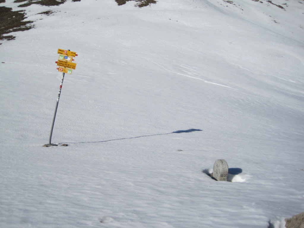
1. Zeblasjoch
2. Fuorcla Val Grondo
3. View from Fuorcla Val Grondo to the southwest; Fluchthorn on the right


 Français
 Deutsch